The Architecture, Engineering, and Construction industries can now benefit from Drone and 3D modeling technology to help key stakeholders stay informed on project status and mitigate risk on job sites.
This ultimately helps save money, time, and mitigate frivolous lawsuits.
Book Now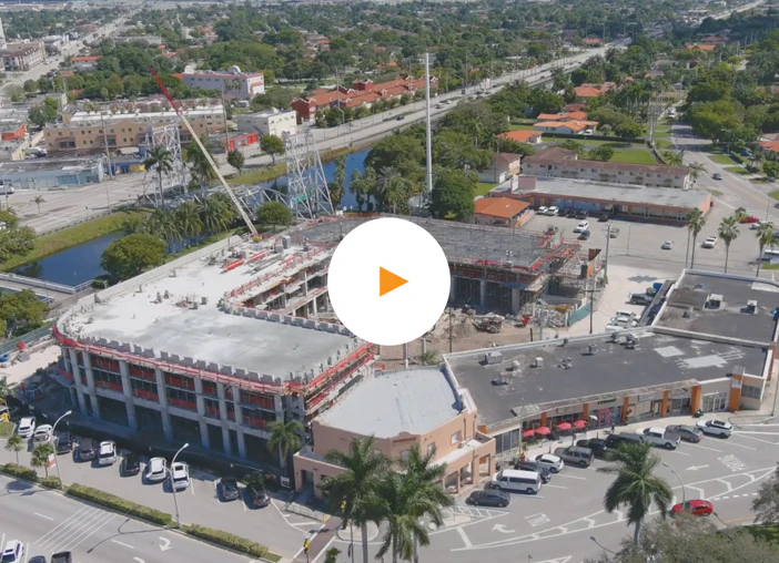
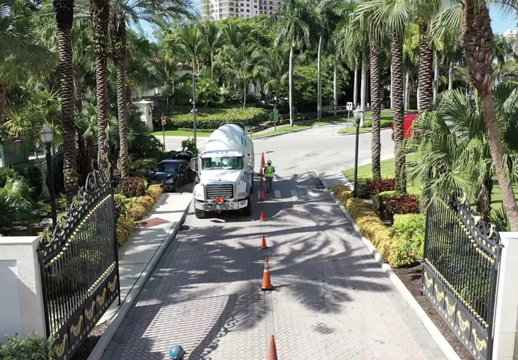
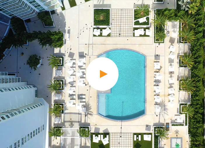
Aerial progression photos and videos can be used in construction for project tracking, documentation, stakeholder communication, and marketing. They provide a comprehensive overview of the construction site and track progress to identify issues early.
Additionally, they serve as valuable documentation for legal disputes, provide visual evidence of completed work, and help communicate progress and updates to stakeholders.
Call: (305) 507-5562From Palm Beach to the Keys — call today to supercharge your project documentation.
Call: (305) 507-5562The benefits of implementing periodic imagery scans of a project far outweigh not doing so.
Construction projects are notorious for going over budget and over schedule. With our drones, we do aerial scans of project progress — giving developers the data they need to take action with contractors and stay in control.
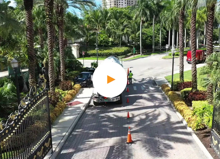
Project managers can maintain safety and control of their inventory. Visual aerial and ground data allows project managers to easily see problems or safety issues, and track inventory on site with historical data.
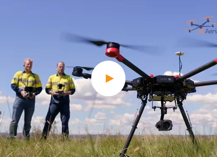
We fly the drone and run the data through AI software to provide construction site intelligence in real time for key stakeholders, project management, and documentation.